Version for visually impaired
Language: English
Polski Polski Deutsch Deutsch
Logo
  • Trips
  • Places
  • Regions
  • Planer
  • Outdoor games
  • Events
  • Map
  • About project
  1. Home
  2. Trips
  3. Bicycle
Ikona

Trips

Bunkers

Distance 15.2 km
Duration 1:00 h
A short and very easy trail. It runs in its entirety along good roads for bicycle riding. The landscape is a bit monotonous, as the route runs through identical pine forests.
distance (km) altitude m a.s.l.

Trip objects

Logo

Military-Civilian Cemetery of the Borne Sulinowo Garrison (the so-called cemetery with a PPSh, Shpigin machine pistol)

Borne Sulinowo
Logo

Entrance gate to Borne Sulinowo from the direction of Łubowo

Borne Sulinowo
Logo

Tourist Information Centre in Borne Sulinowo

Borne Sulinowo
Logo

Lipowa Street

Borne Sulinowo
Logo

Garrison Headquarters, currently Town Hall in Borne Sulinowo

Borne Sulinowo
Logo

Officers' Casino (Garrison Officer's House)

Borne Sulinowo
Logo

Former military hospital

Borne Sulinowo
Logo

Arboretum

Borne Sulinowo
Logo

Culture-Educational Centre, night accommodation

Borne Sulinowo
Logo

Culture-Educational Centre, Museum Chamber

Borne Sulinowo
Logo

General Dubynin's Villa

Borne Sulinowo
Logo

Remnants of Heinz Guderian's Villa

Borne Sulinowo
Logo

Church of St. Brother Albert

Borne Sulinowo
Calculate the route Download GPX

Region

Logo

Drawa and Wałcz Lake Districts

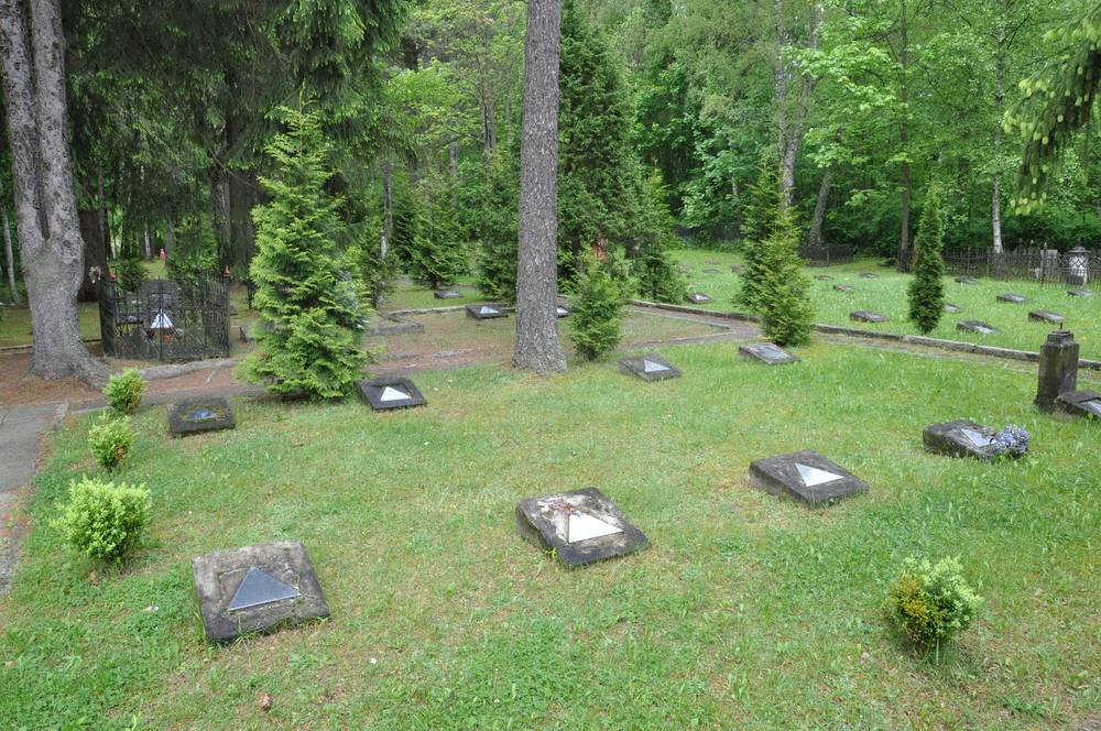
About the region The Drawa and the Wałcz Lake Districts are located in north-western Poland, in...

  • Bicycle Bicycle
  • Walking Walking
  • Kayaking Kayaking
  • Nordic Walking Nordic Walking
  • Horse-riding Horse-riding
  • Car Car
  • Educational Educational
Mobile app
EU flag Leader logotype PROW logotype

"Europejski Fundusz Rolny na rzecz Rozwoju Obszarów Wiejskich:
Europa inwestująca w obszary wiejskie".

Logo Logo Logo Logo Logo Logo Logo Logo Logo Logo Logo Logo

Copyright © 2018 Westisthebest. Wszelkie prawa zastrzeżone. 

Realizacja Amistad.pl.