Version for visually impaired
A
A
A
A
A
A
A
Language: English
Polski
Deutsch
Trips
Places
Regions
Planer
Outdoor games
Events
Map
About project
Home
Trips
Walking
Trips
Municipal Tourist Trail
Distance
3.2 km
Duration
1:30 h
The trail is marked in the footsteps of "Blue Feet." The trail runs along the streets of Goleniów presenting the most interesting and oldest landmarks of highest historical value.
distance (km)
altitude m a.s.l.
Trip objects
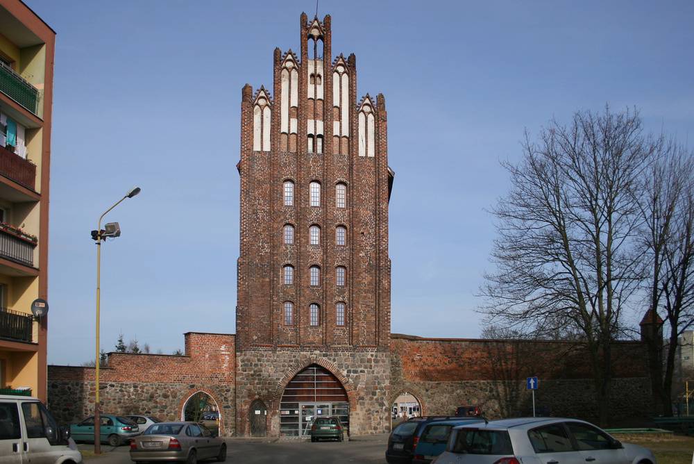
Wolin Gate
Goleniów
Independence Monument
Goleniów
Żółty Domek [Yellow House] Centre for the Documentation of the History of the Goleń Land
Goleniów
Post office building
Goleniów
Church of St. George with the neo-Gothic presbytery
Goleniów
Reconciliation Stone
Goleniów
Archaeological excavation
Goleniów
Granary
Goleniów
Church of St. Catherine
Goleniów
Mint Tower with a Water Gater
Goleniów
Gunpowder Tower (prison tower)
Goleniów
Town walls
Goleniów
Alley of Legends
Goleniów
Middle School no. 1
Goleniów
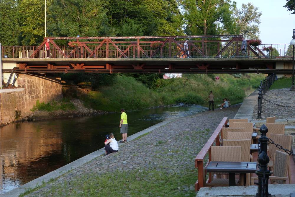
Bridge on the Ina River (ul. Szczecińska)
Calculate the route
Download GPX
Region
Szczecin Coastal Region
About the region The operating area of the Local Action Group “Szanse Bezdroży Gmin...
Bicycle
Walking
Kayaking
Nordic Walking
Horse-riding
Car
Educational
Mobile app


