
Southern Trail of Dolice (yellow)
| Distance |
40.3 km |
| Duration |
3:00 h |
| Difficulty |
average |
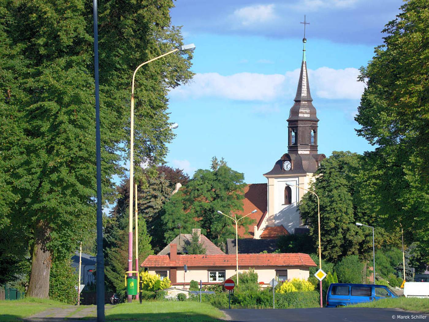
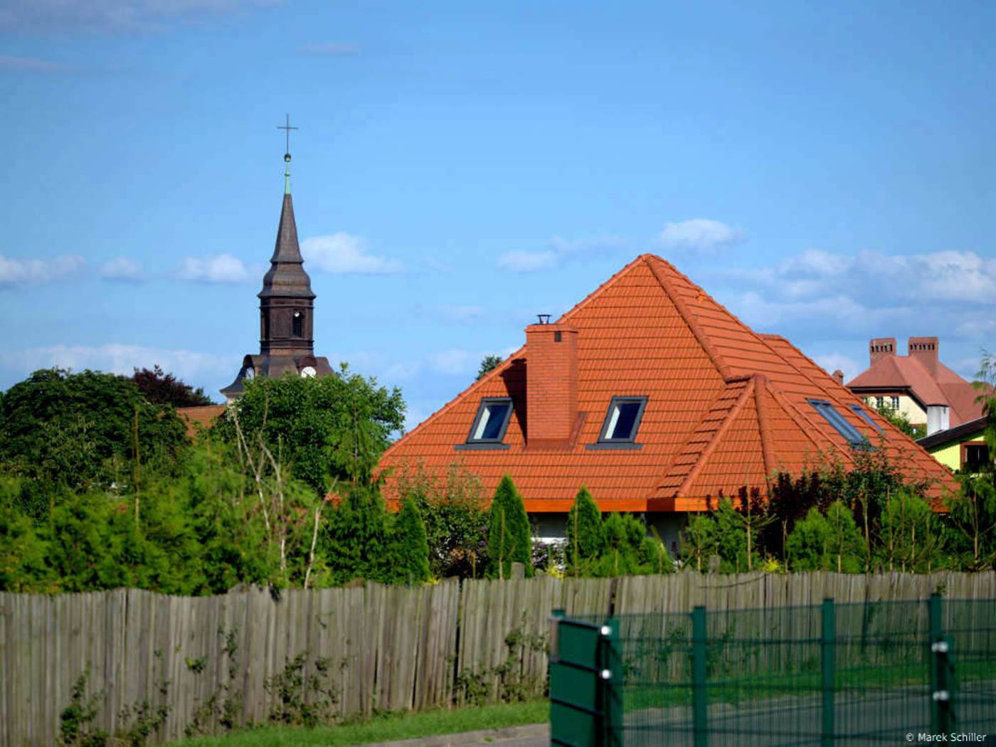
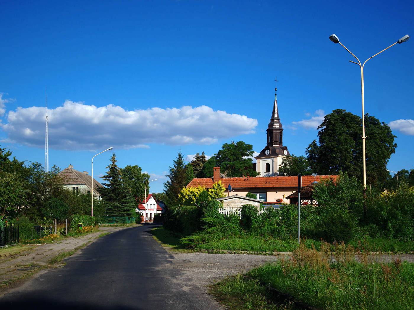
The trail runs through cropland and meadows between the Ina River and the Płonia River. It is an eastern edge of Równina Pyrzycka (Pyrzycka Plain), along with the border Choszczeńskie Lake District. On the way there is Sądów, Dobropole Pyrzyckie, Warszyn, vast fields between Przywodzie and Pomietowo, and finally Moskorzyn - these are old medieval villages, with historical churches, palaces and parks. Also, the history lovers can find something interesting. Although, you need to divert from the main route, it is only 2 km at the utmost. Then you can come across Slavic forts among swamps or two megalithic tombs situated only 1 km of the trail, between Przywodzie and Pomietowo.
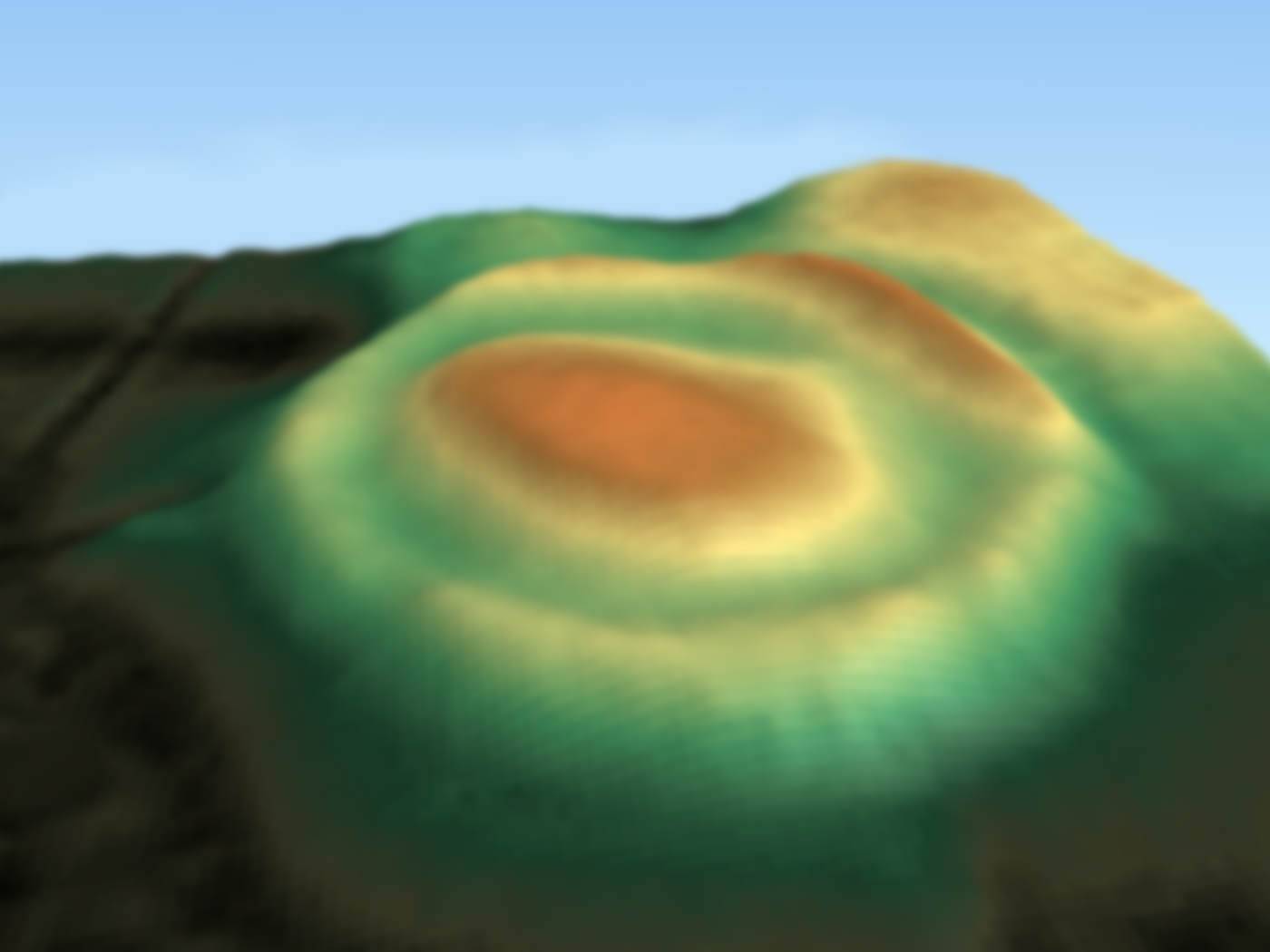
distance (km)
altitude m a.s.l.
Trip objects
Region
Pyrzyce-Stargard Plain
About the region
The region is a perfect destination for tourists who prefer vast, open spaces....


